
Day to all! Thank you everyone, volunteers, sponsors, and attendees, who helped make the Society’s annual Florida Frontier Days celebration last weekend a success!
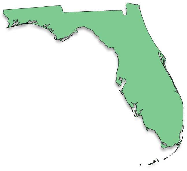
Did you know that the Florida peninsula formed gradually over millions of years, changing size and shape several times? A shallow sea covered it during the time of dinosaurs, which ended around 65 million years ago. However, about 30 million years ago, there was enough land to support early mammals.
The “Florida Platform”, a plateau that is mostly underwater, upon which the state rests, formed around 530 million years ago due to volcanic activity and marine sedimentation, when it was part of the supercontinent Pangaea. Sandwiched between what would become North and South America, and Africa, it was dragged northwesterly when the North American plate began splitting from Laurasia, which consisted of what would become North America, Europe, and parts of Asia. That occurred approximately 200 million years ago.
During the early Pliocene period, around 5 million years ago, most of Florida’s peninsula was evident, absent coastal areas south of Daytona Beach today and those on the west coast including Saint Petersburg, Sarasota, Punta Gorda, and Fort Myers. The state’s southern coast approximated a line running from Fort Myers to Palm Beach.
Conversely, during the height of the last ice age, some 20,000 years ago, Florida’s land mass was about three times what it is today. In fact, the state’s Gulf coast was more than 100 miles further west in many areas. Over the years, I and friends have gone scuba diving many times in what remains of a sink hole in about 70 feet of water 35 miles offshore.
The climate was also much drier and the land dominated by savanna-like conditions, making it home to mammoths, mastodons, saber tooth tigers, and giant ground sloths. That and the shallow sea during dinosaur times, explain why shark’s teeth and large mammal fossils can be found together in and around the Peace River basin. I’ve seen them! As the ice age ended and sea levels rose, around 4,000-6,000 years ago, the climate became much wetter leading to creation of the Everglades.
Changing sea levels also created Florida’s ridge running south through the state’s midsection to below Lake Placid. It is formed from the remnants of ancient sand dunes created during periods of much higher sea levels, thus, Sandhill Pines. Folks travelling State Road 70 to the east coast see it, as do those travelling south from north Florida on U. S. Highway 27, much of which is built on the ridge. A good portion of the quartz sand covering the state today though can be traced to the Appalachian Mountains, arriving in the “Sunshine State” via rivers and coastal currents.
“Did You Know” appears, typically, every other Wednesday, courtesy of this newspaper and the Charlotte County Historical Society. The Society’s mission is to help promote and preserve Charlotte County’s rich history. We are also always looking for volunteers and interested individuals to serve as board members. If you believe our area’s history is as important as we do, please visit Charlotte County Historical Society on-line at https://cchistoricalsociety.com/, or call 941- 769-1270 for more information
Check out History Services’ yearlong project, “Telling Your Stories: History in the Parks”. It began in January 2021 with placement of the first interpretive sign “Charlotte Harbor Spa” at South County Regional Park. The last was dedicated December 15, 2021 at Centennial Park featuring Florida postcards. All dedicated signs can be viewed at online library resources. Select “Programs and Services”, then “History Services” and “Virtual Programs”.
Visit the same site to access recently released oral histories featuring 40 local folks. Select “History Services” and scroll down, or phone 941-629-7278, to find out what history related programs and videos are available.
March 4 column
